Outer Circuit Section 2
Shabbington to Emmington
7.9 miles.
This longer section may be split into two halves, (3.6 and 4.3 miles) with a break at Tetsworth, but this cannot be done using public transport.
Point 7
There is a 110 bus service between Thame and Shabbington but this is infrequent. Otherwise take the 280 bus from Thame and alight at Shabbington Turn. Cross the main road and head up the side road towards Shabbington for about two thirds of a mile. Just before the second of the hump backed bridges turn left over a footbridge waymarked Thame Valley Walk (TVW). The path follows the right side of a field and eventually runs alongside the river. Shortly after the field boundary bears left, turn right over a footbridge. Turn right again, following the right side of the field. At the next field boundary, bear right through a gap and cross another footbridge, still alongside the river. Follow the river around to the right until reaching the corner of the field. The path then leaves the river and turns sharp left to follow the right side of the field to a gap which leads onto the main road (the A418).
Point 8
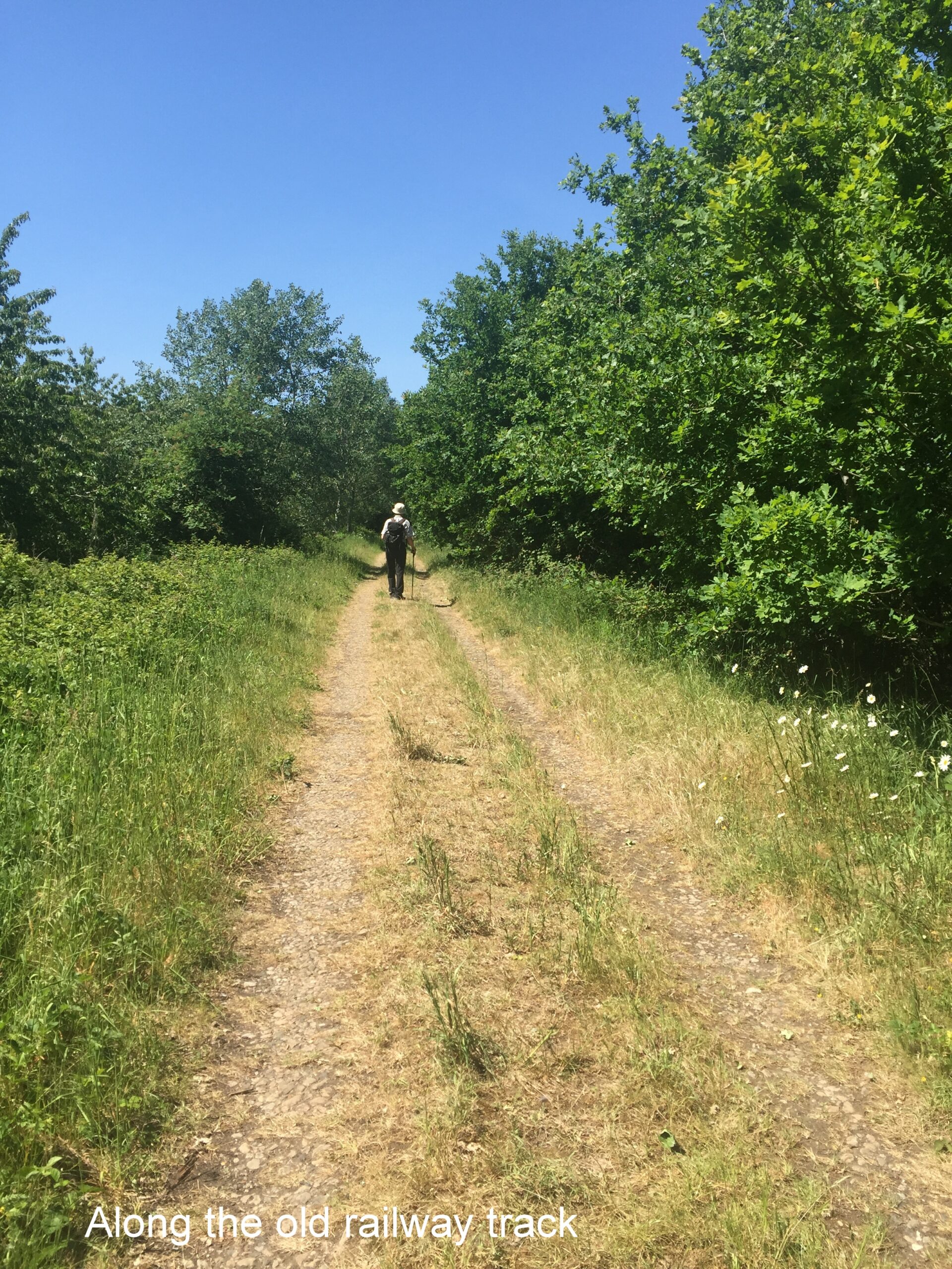
Cross this busy road to the gap on the opposite side, then over a stile (or through a gate). After 100 yards climb a flight of steps, within a high hedge, to a track which follows the line of the old Thame to Oxford railway. Turn right to follow the track, still on the TVW, through a gate, and after a few hundred yards turn left where the track is crossed by a concrete access road to Rycote Farm. Follow this road up to the top where the TVW meets the Oxfordshire Way (OW).
Point 9
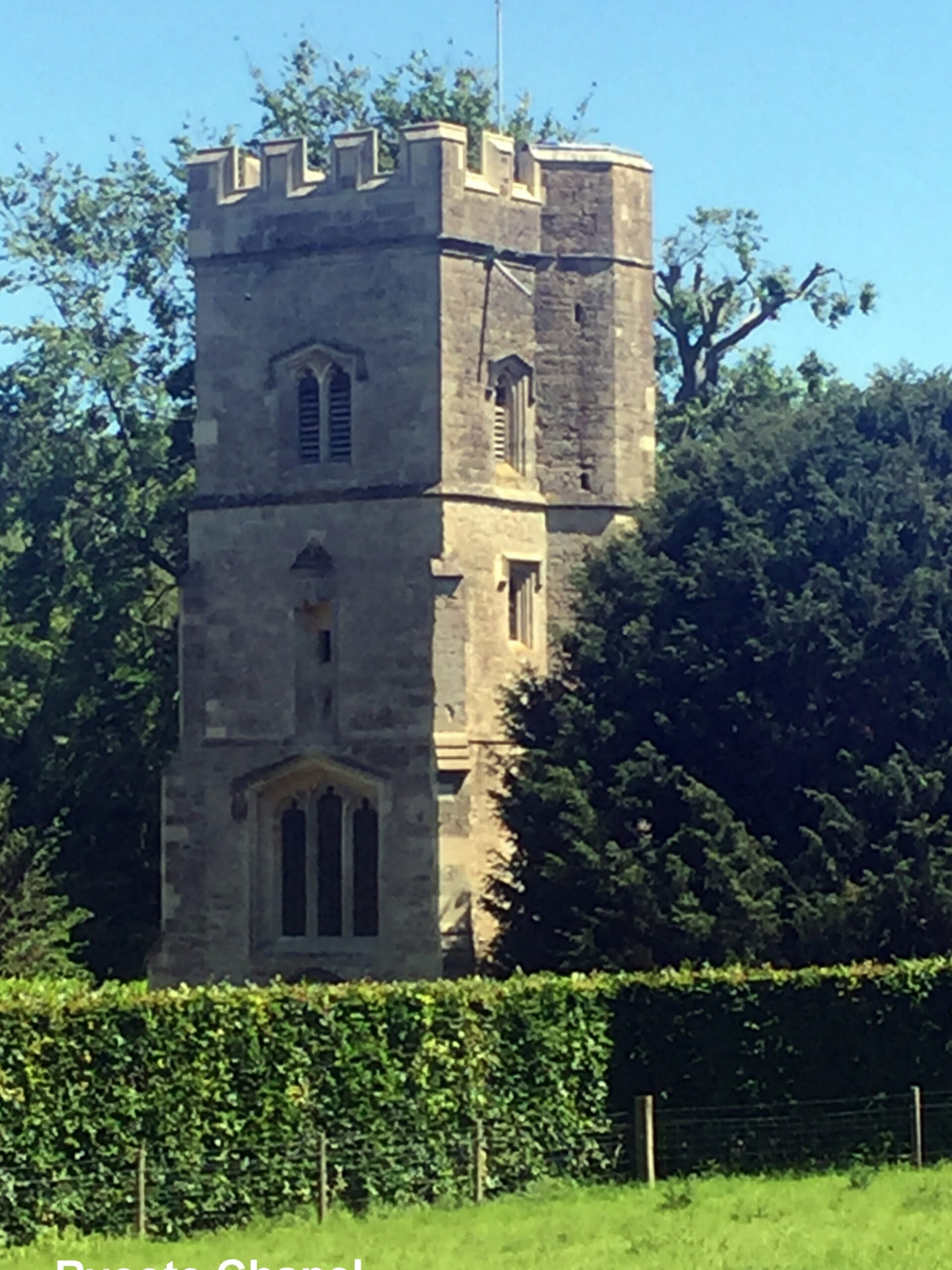
Go slightly left through the farmyard now following the OW, then through a gate and, keeping alongside the left hand hedge, find a kissing gate in the left hand corner leading into the Rycote Estate. Follow the waymarks through the Estate turning right, sharp left and right again up some steps to the Rycote Chapel. Follow the path past the Chapel, noting the ancient yew tree, into a wood. Where the wood ends go straight ahead along the enclosed path. Then go through a gate into some more woods and follow the path until you reach a busy main road (A329). Cross this and over the stile immediately opposite into the Oxfordshire Golf Course.
Point 10
Follow the OW waymarks across the access road to turn slightly right and, after crossing a tarmac path, continue uphill to reach the access road again. Turn left along the grass verge to arrive at a slip road on the right. Cross the road here to find a waymarked (OW) grass path between bushes, to shortly arrive at a low stile.
Point 11
Continue in the same general direction across open land to a waymark post. Go straight ahead to another OW waymark post and turn left onto a bridleway (Linking Route 2a joins here). After about 25 yards turn hard right onto a reasonably clear path, latterly through bushes, to arrive at an open field.
Point 12
Follow the right edge of this field for about 50 yards to a waymark post. Bear left to follow the OW waymark, ignoring the bridleway. Keeping the hedge on the right continue down to the corner of the field. Go left, then right across a footbridge to join a track. Turn left onto the track, leaving it at a sharp left bend and continuing straight ahead along the OW to cross a footbridge. Follow the path past a sewage works to a gate. Then follow the right side of the next two fields to a gate in the corner of the second field. Go through this onto a tarmac path to arrive at Tetsworth Green.
Point 13
At the main road (A40) turn left, and follow it through Tetsworth for almost a mile along the tarmac footpath (Linking Route 2b joins on a rise after ¼ mile). Then, about 400 yards after passing the road to Adwell, lookout for a footpath sign and gate on the left.
Point 14
Take the footpath through the gate and over a footbridge to another gate. Through this and turn right, with a white racecourse type fence on the left. As the white fence turns left, continue straight ahead slightly to the left side of the field towards a wide gap. Go through this and immediately turn half left to follow the path, with a hedge on the left and a pile of earth on the right, to a stile. Cross the stile and follow the left side of the next field, in the general direction of a pylon, to a gate. Cross the access road to a further gate to follow the left side of the next field, passing the pylon, to a stile in the corner. Cross the stile and footbridge to a road (the B4012) near to a tollhouse. Cross the road and turn left for about 15 yards to a footpath on the right.
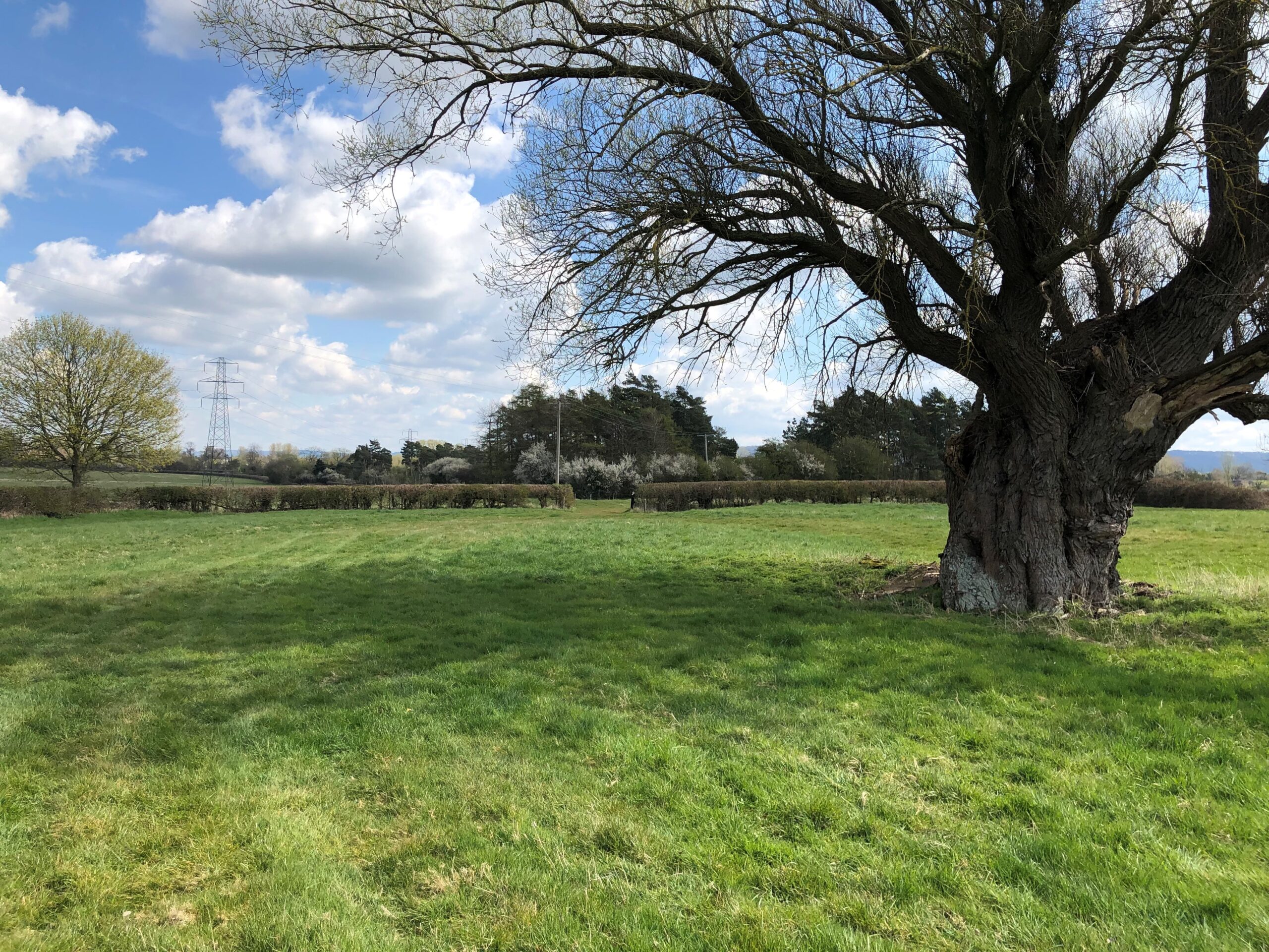
Point 15
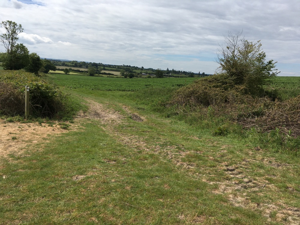
Cross the footbridge and stile, keeping to the left side of the field. Turn right with the hedge and when it turns left go diagonally right towards two field gates. Go through the left gate. Keeping the line of pylons to the left, go slightly diagonally left to reach the top right corner of the field. Cross a stile/footbridge/stile into another field. Then go diagonally right uphill towards a red brick house to reach a gate, with a waymark, leading onto a farm road.
Photo here(of point 15) courtesy of Doreen Rockall
Point 16
Turn left and follow the concrete road through the farm. 110 yards beyond a (usually open) field gate go over a half stile on the left by a footpath sign. Follow the grassy path to the right between fences to an apparent wire fence across the path. Lift a hook of wire off a fencepost on the left to swing the obstruction aside, remembering to replace it once you are through. Go straight ahead passing a large tree to a gap in the hedge. Continue in the same direction and, about 120 yards after passing a pylon, look for a gap in the hedge on the right.
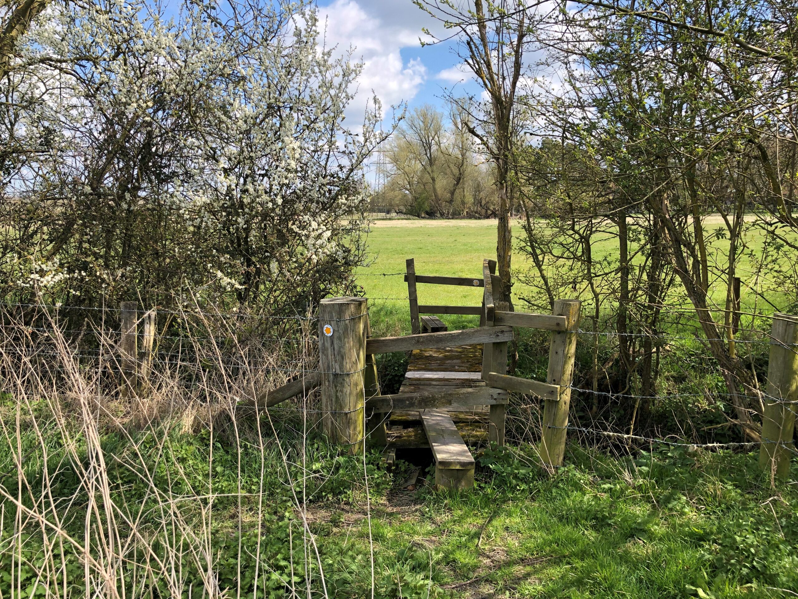
Point 17
Go through the gap and head across the field under the power lines to a waymarked stile about midway along the far hedge. Then through a metal gate and follow the right side of the next field to a gap in the corner. Go straight on, slowly leaving the hedge on the right to reach a metal gate and footbridge. Cross this, and go half right for 50 yards to another metal gate. Then straight on towards the far right corner of the next field. Cross the stile a little to the left of the corner.
Photo courtesy of Doreen Rockall
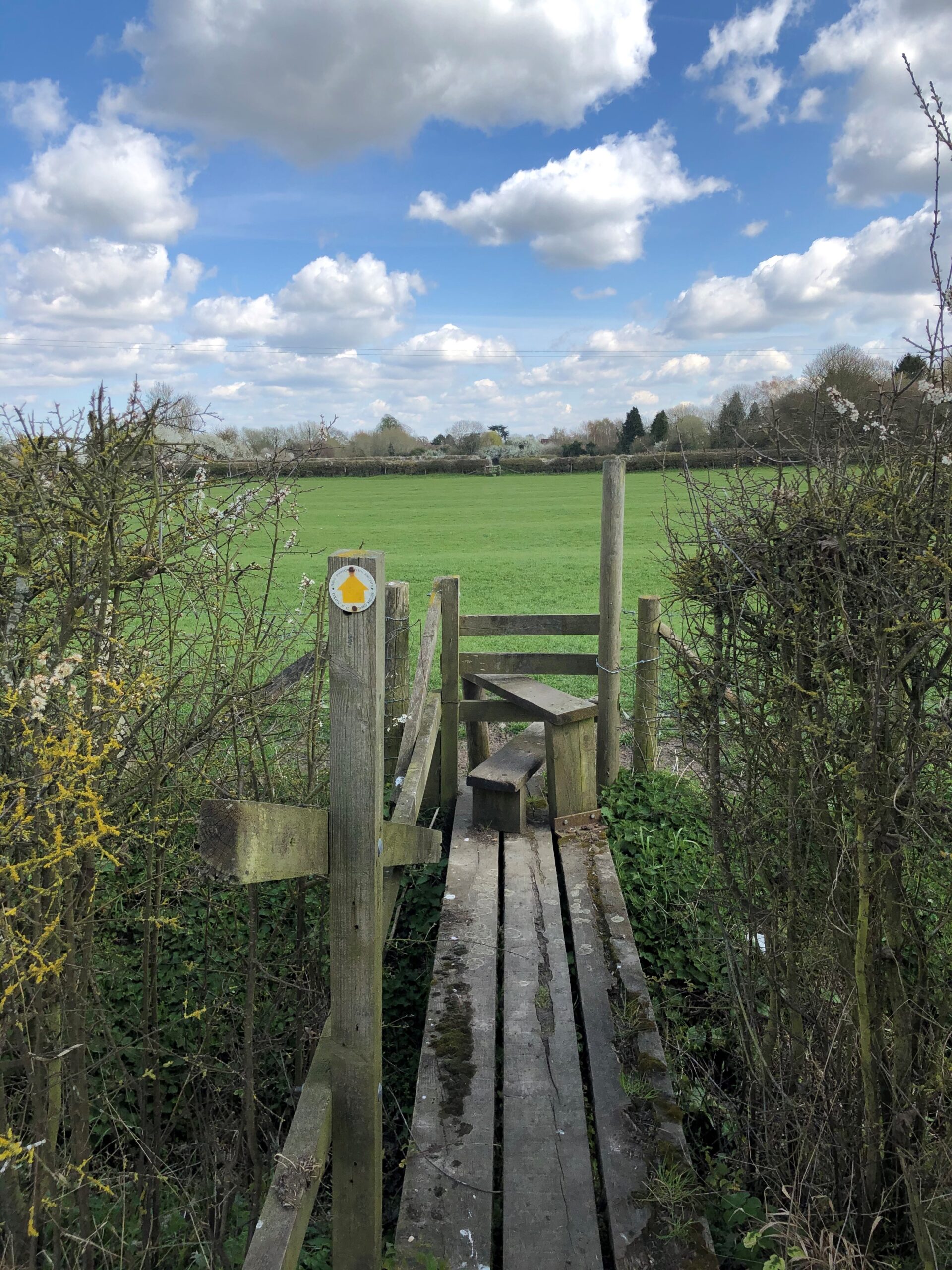
Point 18
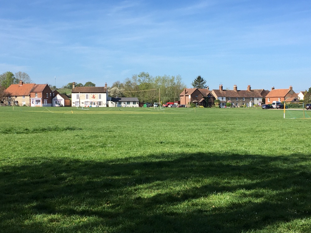
Bear slightly right across the next very large field towards the corner of a far hedge coming in from the right to a (broken) waymark post. Continue ahead with the hedge now on your right to the top right corner of the field. Cross the footbridge and stile and over the next field to another stile. Go straight on through a clear gap and continue past allotments on the left. Then turn left to follow the waymark to a stone footbridge and gate. Go along the right side of the next field to a gate and a road. Turn left and follow the road through Sydenham village to the main Thame-Chinnor road half a mile further on. Turn left to the bus stop at Emmington to catch the no.40 bus back to Thame. (Note this is an hourly service).
Photo courtesy of Doreen Rockall