Thame Inner Circuit: Dark and Wet Weather version
Route map for Thame Inner Circuit Winter Route by Ruth Cornish on plotaroute.com
Route map for Thame Inner Circuit by Ruth Cornish on plotaroute.com
Download the GPX file for this route from Plotaroute
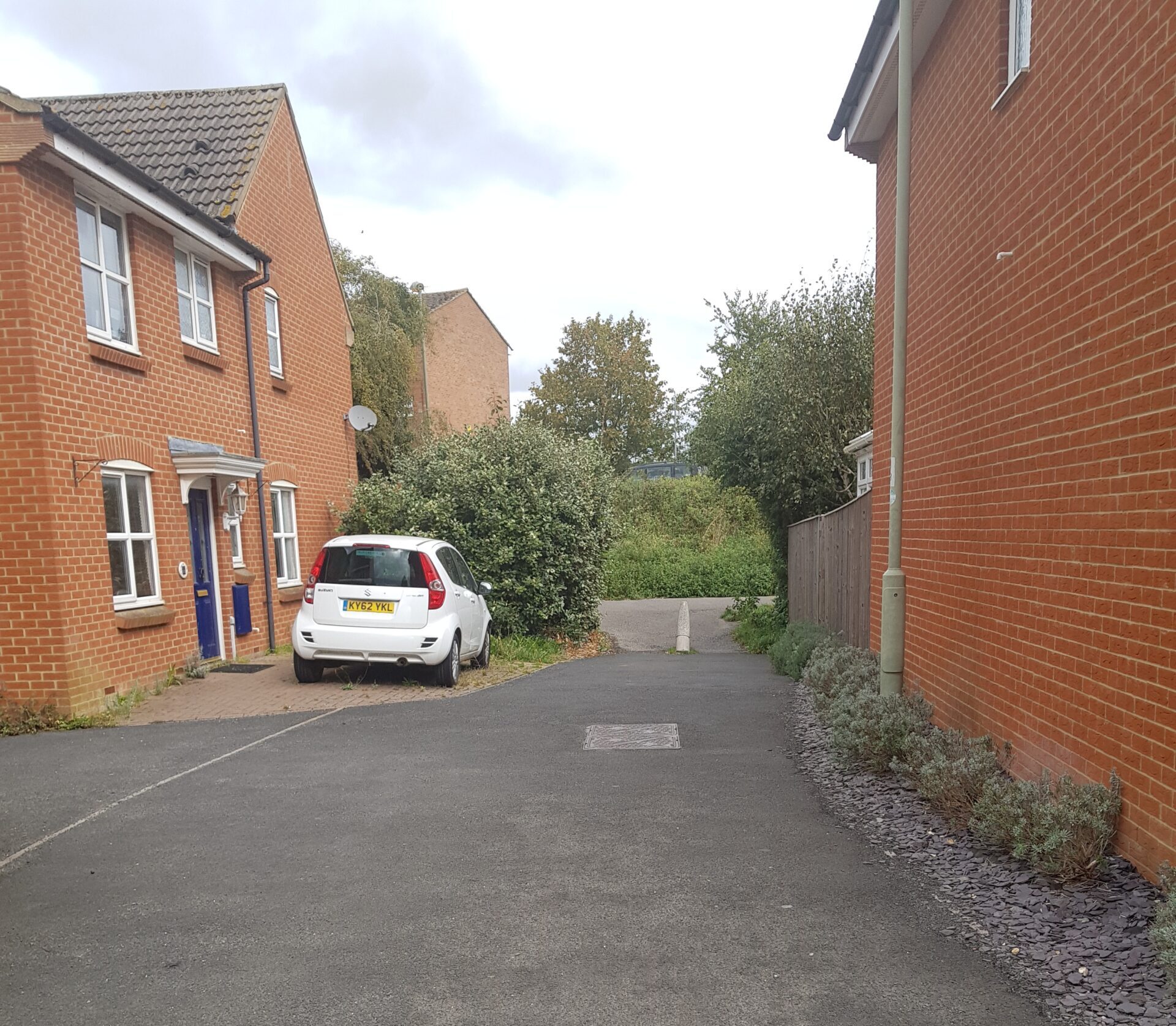
If you are heading out to walk the Thame Inner Circuit in the dark or during wet weather, you may want an alternative to the paths along the Phoenix Trail or through Cuttlebrook. This adjusted route gives you another walk that is just over 4 miles that avoid paths that are prone to getting muddy or are not lit.
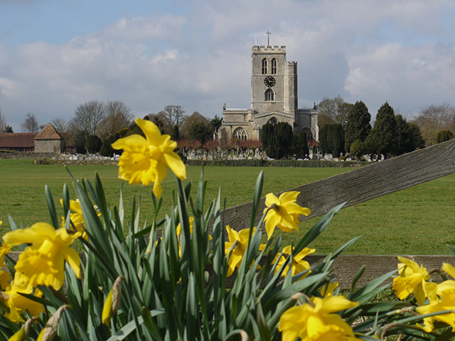
There is no specific starting point but this guide starts at St. Mary’s Church.
Point 1
At the rear of the church in Priest End, and with your back to it, turn right to follow a path between the churchyard on the right and a wall on the left. Follow this past a cricket ground on the right and houses on the left to reach a main road (Aylesbury Road). Cross the road safely here and turn left (using the pelican crossing to the right if needed). Shortly after the end of a long wall turn right onto a path alongside house number 44. After a short distance the path becomes paved. Continue on the path passing above a road on the right (Brookside).
Point 2
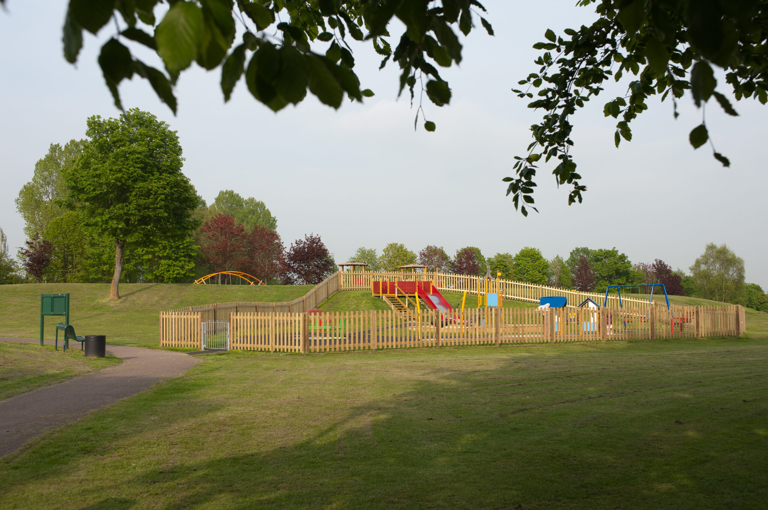
After passing some green railings bear left up a slope, and cross the next road (Roundhead Drive). Continue ahead, passing a play area on the right. Follow the path as it winds through the play areas (do not bear left towards the road), continuing down towards a barrier. Leave the park here to enter a cul-de-sac (Harrison Place). Walk to the end and turn left into the next road (Roundhead Drive) to then reach a T-junction and a post box. Turn right here (Cromwell Avenue) for only a few yards before turning left to cross the road and join a path between house numbers 33 and 35.
Point 3
At a T-junction turn right into a road (Berkeley Road) to go past Cavalier Road and soon turn left onto a path alongside house number “Four”. Bear left past a grass square, across the top of a road until you reach a T-junction in the path and turn left. Bear immediately right past a grass square signposted ‘Cavalier Road’, continuing straight along this path, crossing over another road (Ormond Road – not signed) and past another grass square signed Hamilton Road. A little further on reach a humped green where you will find a tree stump at the summit where a large solitary tree once stood. Take the path along the left edge of this green (i.e. with the tree stump on the right), bearing right to follow the footpath at a Sedgemoor Drive sign.
Point 4
Go straight ahead at a crossing of paths to finally reach Cromwell Avenue again. Cross the road and take the path diagonally right across a green to reach a path alongside house number 34. Keep straight ahead for some distance to eventually pass a green and play area (Churchill Play area) on the right and arrive at a main road (Kingsey Road). Turn right along the pavement to pass Burnards Court and Churchill Crescent. When the tarmac pavement comes to an end, cross the road to go through an obvious path for a few yards to cross a road (Seven Acres) and take another short path almost directly opposite to arrive at another road (Queens Road).
Point 5
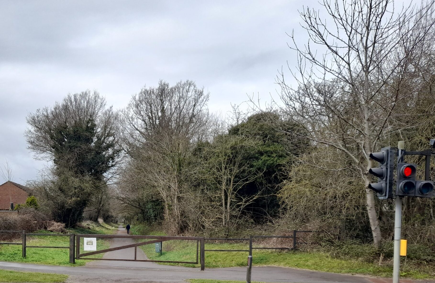
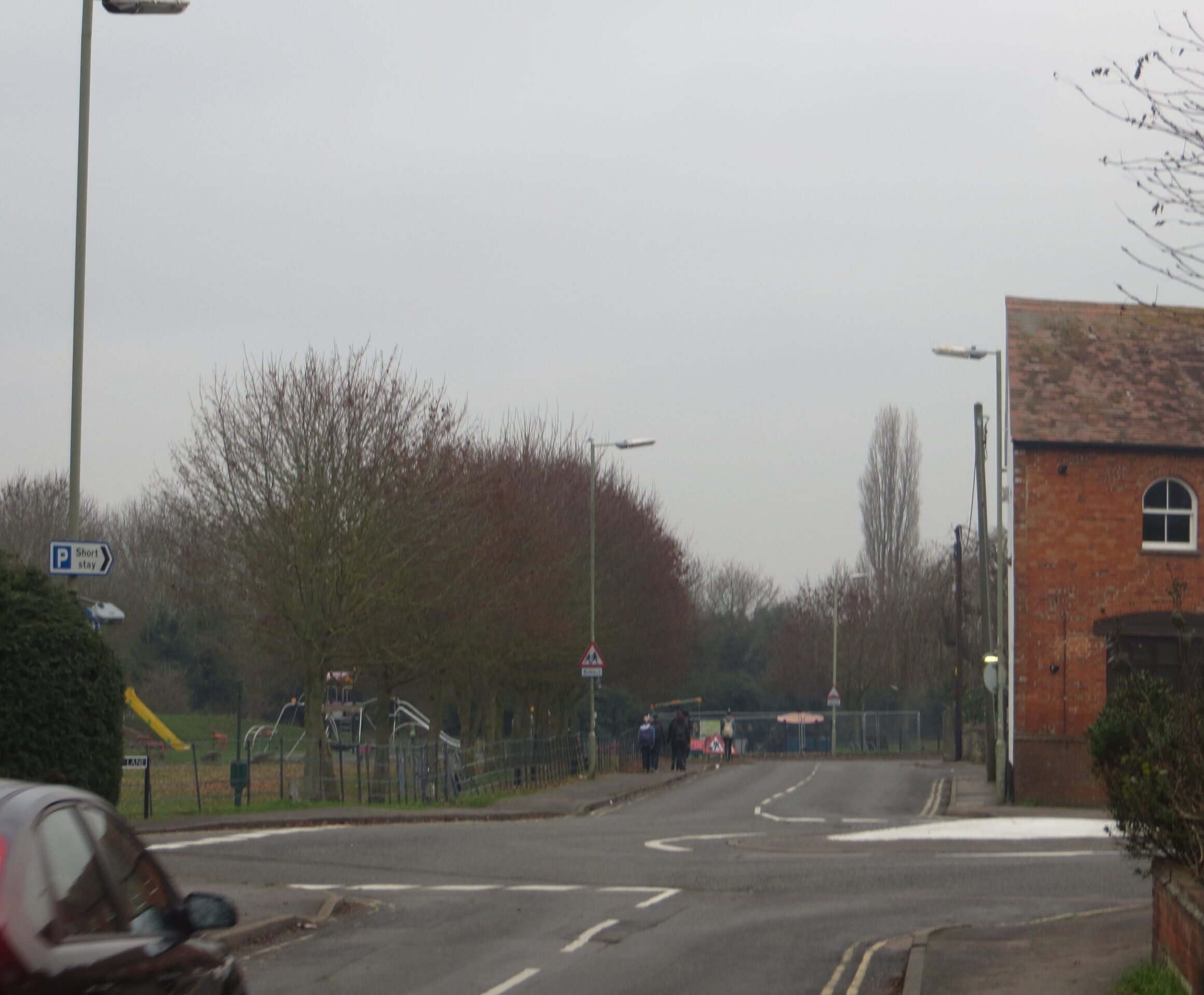
Cross the road to enter Towersey Road. Go past the school and Towersey Drive and soon arrive at a path on the right by a red dog litter bin. Follow this path and take the second path on the left to find a road (Pickenfield). Bear left to follow Pickenfield to a major road (Eastern by-pass). Turn right on the footpath for about 200 yards to arrive at a tarmacked track on the right (Phoenix Trail) by a traffic crossing.

Point 6
Keep walking until you reach a roundabout, cross safely and continue around the Eastern by-pass (Wenman Road). On your right you will pass several industrial units, on the left mainly fields until a new housing estate begins. At this point cross the by-pass to pick up a walking/cycling path and follow this straight for quite a while, ignoring footpaths and roads off to the left until the cycle path turns round a bend to the left to follow the line of the main road (separated by trees and bushes). Keep walking and shortly you will find a turning to the right to bring you to this main road.
Point 7
Cross the road here and walk almost straight ahead into Robin Gibb Road. Follow the road round to the right, and keep right to stay on Robin Gibb Road. Follow the road round as it turns sharply to the left . The footpath then almost immediately branches off to the right heading between a house and a large hedge. Follow this footpath with the hedge on your right to a T-junction and turn right. Keep walking until the footpath splits and bear right. Walk to the end of the footpath to a road (John Fulkes Avenue). Cross this road, then the road directly in front of you (Jane Morbey Road).Almost opposite, walk into a housing estate (Youens Drive). Walk through this estate, keeping left until you come to a gap between houses 62 and 68 which leads you to the Phoenix Trail. Turn left onto this to walk a short way uphill until it connects with a road (Van Dieman’s Road). Come off the Phoenix Trail here and walk left along the road until you reach a T-Junction where you can turn left (Hampden Avenue).
Point 8
Walk along this road to a T-junction and turn right (Windmill Road). Walk to the end of this road and turn left to connect to Southern Road. Cross onto the far side of this road so that you can stay on pavement and continue along, past the entrance to The Spread Eagle Hotel’s and Sainsbury’s car parks. Cross over a roundabout to walk alongside Southern Road Recreation Ground. The road bends round to the right. Turn left when you come to Mitchell Close. Walk to the end of this road to pick up Brook Lane. Turn right and this brings you past the car park of the Six Bells and on to the High Street directly opposite Church Road. Cross over the road here and walk down Church Road to find yourself back in the Church yard, and at the starting point of this route.

This walk has been created on behalf of Thame Green Living as an approachable route to encourage walking around the town as recommended in the Thame Green Living Plan adopted by Thame Town Council to promote a cleaner, greener, healthier Thame. With thanks to Len Davidson, Steve Brandish, Ruth Cornish (Thame & Wheatley Ramblers) and the Lea Park Residents’ Association for helping create this walk, supported by Charles Boundy of Thame Green Living.